


Some see the rolling hills of the Thuringian forest a nuisance to their transport routes but to many others the expanse of green in summer and white in winter is a playground of exploration waiting to be uncovered. I had little idea of what awaited me prior to arriving as to find it I searched for closely grouped contour lines on a map around the area in Germany I would need to stay and searched Strava’s Global Heatmap to double check people actually rode there! Heatmaps and contour lines give an overview but do little to categorise experiences. So let’s see what hidden below the canopy!


Thuringian Forest base camp – Fraueunwald
Our host village, Fraeunwald, was perfectly located to begin the adventures. Situated in the middle of the belt of hills and up on the ridge line meant most trails were easy to access and the major towns of Suhl and Ilmenau were a quick 20min drive away. Working down from the top of the list of trails we start at the Rennsteig. Covering the expanse of the range at close to 200km in length, the Rennsteig is a multi-purpose trail that acts as the bloodline to many other smaller tributaries. While a little long for my liking it was an easily identified trail (by giant R’s on posts all the way along) that could be an easy way to knock some kilometres off to get you to a new area from which you could pick up other trails and explore.


Rennsteig
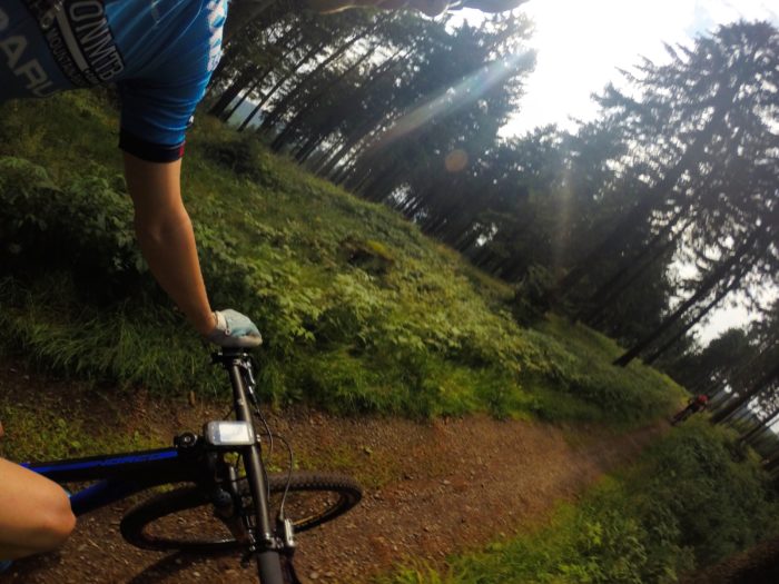
Lovely smooth trails for the whole family…nope, sure parts of the trails are groomed and relatively easy but the majority are rough rooty singletrack that keeps you on your toes but would still be manageable by most people. Many of the trails are more traversing than steep up and downs which can make for an easy day or a hard day out, it’s all up to you. One great thing was the trails were right beside the road in most cases, so if you wanted to skip a section you could hop onto the road, spin the legs out and knock some kilometres off before re-entering the track.

Where do they lead? Most trails seemed to end in one of three ways. Either at a restaurant in the middle of seemingly nowhere, in a town which again seemed to be in the middle of nowhere, or at a lookout. As the tracks traverse the top of the ridgelines, there are frequent areas to stop and look out over either the range or out onto the flat lands. The 915m high Großer Finsterberg is a good example with signposted trails leading up to a raised platform that provides 360° views of the whole area.

On the road to nowhere… or the road to dumplings.
The signposts are a little confusing at times but as long as you have a general idea of where your heading or the names you should be alright. The best suggestion would be to stay up on the range as it’s a little cooler during summer being at 700+m high. As always a quick look on Strava should head you in the right direction, or unplug and go get lost!


Have fun!